
Programs & Projects
The Illinois NLRS is grounded in science, monitoring, and collaboration. State and federal partners, including the Illinois EPA, U.S. Geological Survey, and Illinois Department of Agriculture, operate a coordinated network of surface- and groundwater monitoring programs that measure nutrients, water yield, and water quality in real-time.
From super gages on major rivers to shallow groundwater wells and advanced modeling in the Illinois River Basin, monitoring efforts generate the data needed to track progress, identify emerging issues, and guide adaptive management across Illinois watersheds.
This work is strengthened by a broad community of researchers and organizations that study how nutrients move through Illinois’ landscapes and waterways. Through the NLRS Nutrient Monitoring Council, scientists and practitioners share data, align research priorities, and coordinate statewide water-quality monitoring and nutrient research.
Together, these partnerships ensure that the Illinois NLRS remains rooted in the best available science. Programs and projects continue to build directly on the findings from Illinois’ Statewide Nutrient Loads and HUC8 watershed analyses, connecting ongoing monitoring and research to practical solutions for cleaner water.
Water Quality Monitoring Programs
U.S. Geological Survey Continuous Nutrient Loading Network
Since 2015, the Illinois EPA has partnered with the U.S. Geological Survey, USGS, to operate and maintain eight high frequency nutrient monitoring sensors, also called super gages, located on major rivers. Each sensor measures water yield and nutrient concentrations, producing annual summaries of nitrogen and phosphorus loads, and water yield, or streamflow. These data support the calculation of five-year running averages of nitrate-nitrogen and total phosphorus leaving Illinois.
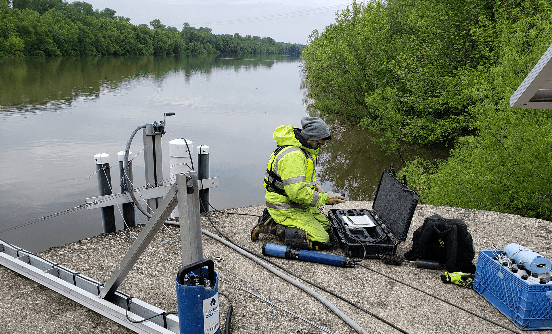
Eight USGS high-frequency nutrient monitoring sensors record water yield and nutrient levels to track Illinois’ progress toward nutrient-loss reduction.
U.S. Geological Survey Illinois River Basin: Integrated Water Science and Next Generation Water Observing System
In 2020, the Illinois River Basin was selected as one of 10 national Integrated Water Science basins for a 10-year intensive study of the water quantity, quality, and use.
This initiative combines two complementary programs:
Next Generation Water Observing System
Launched in federal Fiscal Year 2021, the USGS Next Generation Water Observing System, NGWOS, program expanded monitoring from 2 to 13 high-frequency monitoring sensors, also called super gages, which serve as testbeds for new harmful algal bloom, HAB, monitoring technologies, providing higher spatial and temporal resolution water quality data and new nutrient cycle data. Monitoring focuses on nutrients and HABs using a mix of in-stream sensors, low-order stream sampling, and satellite-based remote sensing.
Learn more about USGS Next Generation Water Observing System: Illinois River Basin.
Integrated Water Availability Assessments
Beginning in federal Fiscal Year 2022, the USGS Integrated Water Availability Assessments program began using NGWOS data alongside hydrologic models such as MODFLOW, SWAT, SPARROW, and CE-QUAL-W2. The program examines nutrient cycling, watershed hydrology, and fluvial geomorphology (how river movement shapes land through erosion and deposition) and relates these processes to harmful algal bloom, HABs, formation in the Illinois River Basin.
In Fiscal Year 2027, this program will pivot to combining high-density monitoring and advanced modeling to understand how nutrients, climate, and land use affect water availability. Program goals also include providing reliable and useful predictions of algal blooms in nutrient-rich rivers and improving national-scale modeling of point and non-point nutrient sources and legacy nutrient transport.
Findings from this effort will help clarify the connection between nutrient loads and HAB formation in the Illinois River Basin, provide datasets and analyses that illuminate nutrient cycling in key stretches of the Illinois River, and inform future strategies for reducing nutrient loss statewide.
Learn more about USGS Integrated Water Availability Assessments: Illinois River Basin.
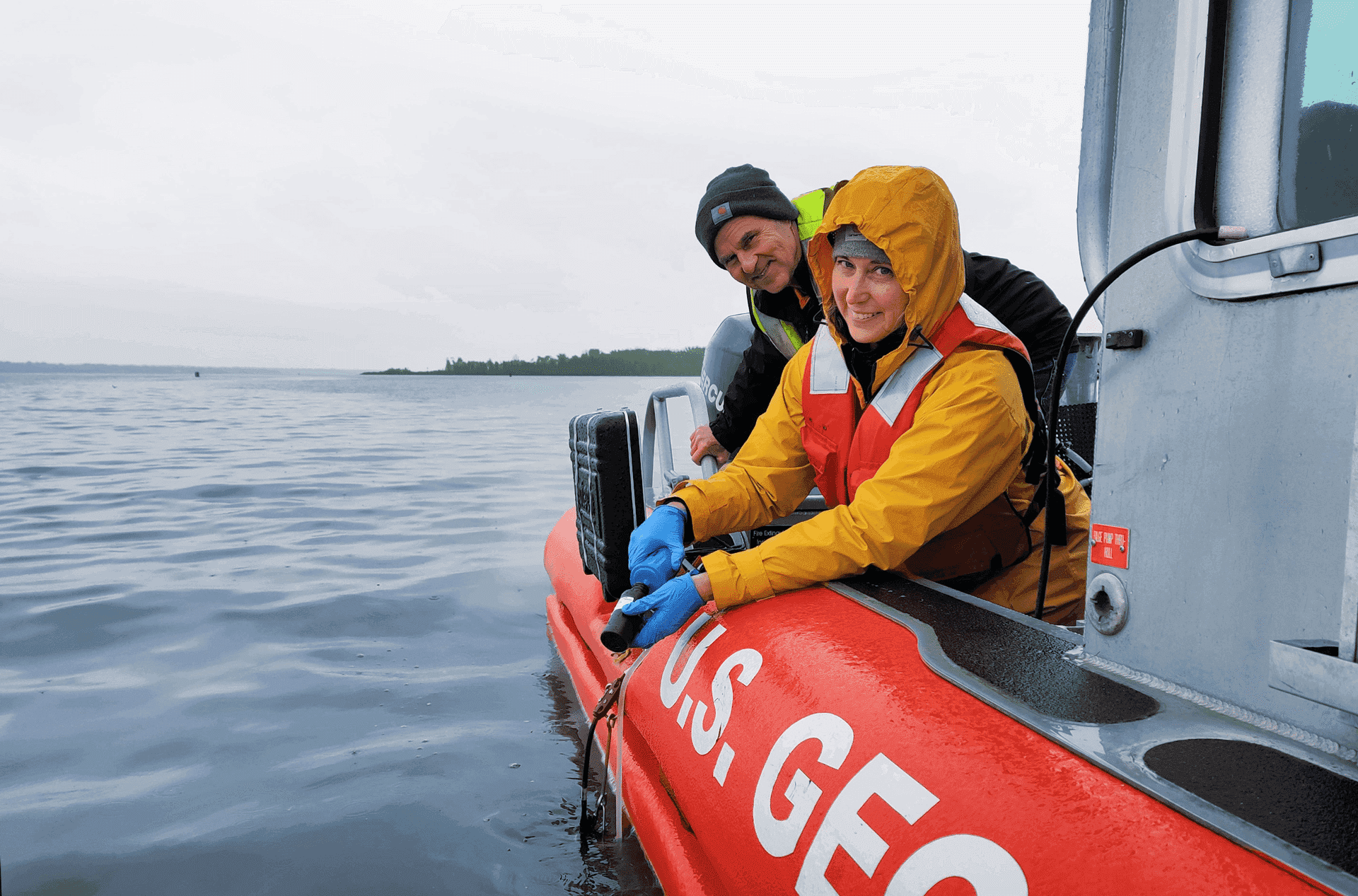
USGS monitoring on the Illinois River. Photo by Jim Dunker, USGS.
Illinois EPA Ambient Water Quality Monitoring Network
The Illinois EPA operates an Ambient Water Quality Monitoring Network of 147 fixed stations across the state to track surface water quality and assess designated uses. Samples are collected approximately every six weeks and analyzed for more than 55 water-quality parameters, including nitrogen and phosphorus. Monitoring and assessing environmental conditions provide vital information for achieving natural resource goals and ensuring that Illinois waters are suitable and safe for human consumption and recreation. It also helps support healthy aquatic life, contributes to aesthetic enjoyment, and provides for various agricultural and industrial uses.
Illinois Department of Agriculture Groundwater Nitrate Monitoring Program
The Illinois Department of Agriculture, IDOA, monitors nitrate levels in shallow groundwater to track long-term trends related to agricultural practices. In 1995, IDOA partnered with the Illinois State Geological Survey and Illinois State Water Survey to create a statewide network of 130 dedicated groundwater monitoring wells. These wells, ranging from 10 to 82 feet deep, were designed to assess regional impacts of non-point agricultural sources, not localized site contamination. Each well is sampled on a rotating two-year schedule, providing statistically reliable data on nutrients and pesticides in shallow aquifers beneath areas with corn and soybeans. In 2022, using U.S. EPA Gulf Hypoxia Program funds, IDOA purchased a new nitrate analyzer, restoring analysis capability after the earlier instrument was decommissioned in 2014. Higher-frequency nitrate monitoring now generates a larger and more detailed dataset than traditional periodic sampling, improving Illinois’ understanding of groundwater quality statewide.
Water Quality Research Initiatives
Rock River Basin Research (2022)
Nitrate load increases in the Illinois portion of the Rock River appear to have occurred in the late 1990s, about 20 years later than occurred in rivers in the tile drained areas of the state. Differences in precipitation and water yield, expansion of irrigation, and increased corn-soybean acres may account for some, but not all, of later the increases in riverine nitrate loads. There is extensive groundwater beneath this watershed and near the Rock River. Considerable nitrate may have been accumulating in the groundwater and moving slowly to the river, which may account for some of the 20-year delay in nitrate load increase. The influence of legacy nitrate loading from groundwater in the Rock River requires further investigation.
Conservation practices that reduce nitrate leaching from cropland may take more time to reduce riverine nitrate loads than in other regions.
Opportunities to expand conservation practices include:
- Improving irrigation efficiency to reduce excess water and nutrient loss
- Establishing cover crops using irrigation systems to improve nitrate retention
- Implementing nutrient management plans that credit nitrate already present in irrigation water
- Targeting nutrient loss reduction practices on seed corn acres, which remove less nitrogen at harvest
- Expanding riparian wetland restoration to remove nitrate
View the 2023 update on Nitrate-Nitrogen Loads in the Illinois Portion of the Rock River Basin.
View the Illinois State Water Survey 2011-22 report on assessing subsurface transit times and denitrification in the Rock River Basin.
Illinois River Basin Phosphorus Research (2022)
A recent study of the Illinois River Basin show that most of the increase in total phosphorus at Valley City is from the lower mainstem of the Illinois River, which has shifted from storing phosphorus to releasing it. The causes of this change are still being investigated, but factors may include legacy phosphorus in sediments. Approximately 20% of the total phosphorus load increase can be attributed to higher phosphorus loads from the Sangamon River, a major tributary feeding into the lower mainstem of the Illinois River. The magnitude of the increased phosphorus load in the Sangamon River is similar to increased phosphorus discharge from the Sanitary District of Decatur, which is in the process of exploring options to reduce phosphorus discharges.
Flow Normalization (2026-29)
Normalizing the Flow, Clarifying the Impact: Improving Tracking of Nutrient Loss Reduction with Flow Normalization for Illinois
This project is synthesizing methods for flow normalization, reviewing pros and cons of different flow normaliztion methods, calculating the trends for both total nitrogen and total phosphorus exports annually to provide Illinois NLRS with flow normalization results for strategy updates.
Extreme Precipitation (2026-29)
Targeting the Tails: quantifying the vulnerability of nitrogen and phosphorus losses to extreme precipitation events for Illinois
This project is quantifying the contribution from extreme precipitation events to nitrogen and phosphorus losses for the whole State of Illinois using high-resolution precipitation datasets to develop models that estimate daily nitrogen and phorphorus loading responses to extreme precipitation using the Illinois super-gage water quality monitoring network as benchmarking. It will quantify nitrogen and phorphorus load contributions for all 1,534 HUC12 watersheds in Illinois and identify and rank "vulnerability hotspots" where extreme weather events create the highest risk for nutrient losses.
Data-Driven Watershed Nutrient Reduction (2026-29)
Developing and demonstrating a Data-driven Watershed Approach for Controlling Non-point Source Pollution in Illinois
This project will demonstrate an watershed planning approach in the Upper Sangamon River watershed based on high-frequency monitoring, precise source appropriation, high-spatial resolution data, and cost-benefit analysis with economic optimization. The objectives are to establish a real-time and high-frequency monitoring network to decipher nutrient sources and transport pathways, identify critical source areas with high-resolution spatial analytics, conduct precision conservation planning for impact of site-specific BMPs to maximize nutrient loss reduction efficacy, and model cost-benefit optimization. A model wil produce output that quantifies potential nutrient loss outcome and economic costs for conservation scenarios.
Other Research (2025)
Botero-Acosta et al. (2025) analyzed phosphorus trends across the Mississippi and Atchafalaya River Basin from 2000–2020. Results show that phosphorus trends vary widely among watersheds, with local watershed conditions and management practices often playing a larger role than streamflow in influencing water quality.
Margenot et al. (2025) examined how decades of phosphorus applications have built up "legacy phosphorus" in Midwestern soils and waterways. These stored phosphorus reserves can benefit crop production but may also contribute to water quality issues for many years, emphasizing the importance of long-term phosphorus management.
Kreiling et al. (USGS data release 2025) quantified streambed sediment phosphorus dynamics at 10 stream sites in the Illinois River Basin during the summer and fall of 2024 to evaluate how streambed sediments in the Illinois River Basin store and release phosphorus. Understanding these processes helps improve knowledge of phosphorus cycling and sediment's role in influencing water quality.
Botero-Acosta et al. (2025) analyzed nitrate-nitrogen trends across the Mississippi and Atchafalaya River Basin from 2000–2020. Results show that most cropland watersheds showed declining trends, with factors other than streamflow driving changes at most sites.
Current Research Questions
The NLRS Nutrient Monitoring Council has identified additional research needed to quantify causes of total phosphorus load increases in Illinois rivers.
- Statewide Landcover/Land Use Analysis
- Relationship to river P loads
- Estimate influence of factors: livestock, tile drainage, land slope, impervious area, etc.
- Monthly P Load Analysis
- Determine any seasonal shifts in P loads
- Examine summer P release from sediments and P washout in fall/spring
- Investigate frequency of low dissolved oxygen in sediments
- Assess impact of extended low water yield periods and elevated water temperatures on seasonal shifts
- Low Dissolved Oxygen Conditions
- Investigate frequency of conditions producing low dissolved oxygen in sediment
- Consider factors like extended periods of low water yield and high water temperatures
- Biological Trend Analysis
- Study trends in zooplankton, algae, and dissolved oxygen
- Utilize past measurements if available
- Sediment Analysis
- Investigate sediment P:Fe ratios
- Use past measurements if available
- Lab, Mesocosm, Incubation Experiments
- Examine the effects of NO3, Cl-, SO4, Fe on P release from sediments